As part of the CPL flight training and test I have to be able to find ground features such as small towns and airfields by dead reckoning given a certain heading from a place eg divert from Ballarat Airport (YBLT) north to Clunes which is a relatively "big" town with a railway line going into the town from the south and several major roads branching out from the town. Then track overhead Clunes to the north east and find a small town Franklinford and from there track to Kyneton airfield (YKTN). Now Franklinford in this case consists only of a few small houses and the way to find it would be to identify Daylesford to the south which is a town of several hundred houses and follow the main road out of Daylesford to find Franklinford. All the time this is happening in the air flying an airplane and I have to cater to things like the wind blowing me off track, and estimating time to reach the town; on top of having to find it when I think I am about to reach it.
The work load is extremely high at that time when I am looking and looking but not seeing the big picture. The "big picture" to look out for is to find bigger features in the vicinity such as power lines, railway lines, major roads, rivers, creeks before zooming in on the target town. This is to be able to confirm that I have reached my target feature. Then compare the size of the town to the chart, seeing how many roads come into the town etc before confirming it is the town I am looking for.
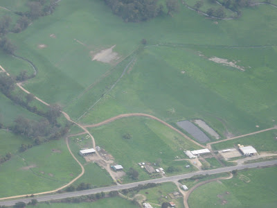
Today I went flying, tasked by my instructor to find two small private airfields which are not in ERSA (I would not even call them airfields, just aircraft landing areas or grass strips) and a small town. I was asked by him to take pictures of the required ground features and show them to him when I returned. I thought it interesting to show the pictures because from 4000 ft up in the air the features were quite difficult to see. Nonetheless I accomplished the task, with some difficulty, and wasted sometime tracking back and forth looking for the second feature (Labertouche).

Bunyip grass strip
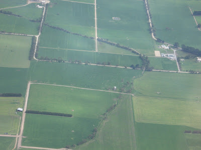
Labertouche grass strip
Berrys Creek
Rather than coming back to Moorabbin from Berrys Creek town (near Leongatha) I went on to do some NDB intercepts at Wonthaggi (WON) and Cowes (CWS) as well. All in all an interesting flight of 2.1 hours.
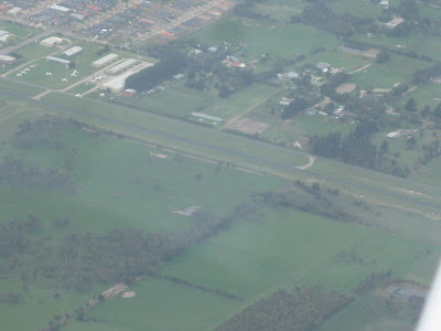
On the way back from Cowes to Moorabbin I also flew past the west of Tyabb airfield and took this picture of the 35/17 runway.
Tyabb airfield